Product Hunt Alternative
Product Hall of Fame
ProductFame helps founders launch products, gain visibility, and earn backlinks while users discover new startups and tools.
ProductFame helps founders launch products, gain visibility, and earn backlinks while users discover new startups and tools.
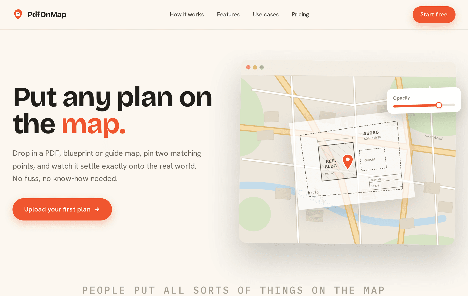
PdfOnMap is a free browser tool that answers one deceptively simple question: where does this plan actually sit in the real world?
Plans almost always arrive as PDFs — a site plan from an architect, a landscaping sketch, a floor plan attached to a listing, an event layout, an old scanned map. The PDF shows the shapes, but not the context. You end up squinting between the drawing and a map app, trying to work out which corner faces the road and where the north edge of the plot really is.
PdfOnMap closes that gap with lightweight georeferencing. Upload a PDF and the tool shows your drawing next to an interactive map. Click one point on the drawing and its matching point on the map — a building corner, a plot boundary, a crossing. Then click a second pair. That's the whole workflow: from those two matched pairs, PdfOnMap scales, rotates and positions the drawing so it settles onto its true location as a semi-transparent overlay. An opacity slider lets you fade between plan and map, and you can pan and zoom the combined view like any web map.
There is deliberately no GIS learning curve. Professional tools like QGIS can georeference documents too, but they expect you to understand coordinate systems, projections and control points. PdfOnMap trades that power for immediacy: no account, no install, no configuration — open the site, upload, click twice, done. It runs entirely in the browser, on the map data you already know how to read.
Who gets value out of it: landscapers and garden designers showing a client how a design sits on the actual property; construction and site contractors orienting a crew with the site plan over live satellite context; real estate people placing a floor plan or plot drawing on the parcel; event organizers mapping a venue layout onto the grounds; and anyone overlaying an old or hand-drawn map onto modern streets just to see what lines up. If your work produces or consumes drawings of real places, seeing them in place beats imagining it.
Two honest limitations, by design. First, PdfOnMap is a visual guide, not a survey instrument — the overlay is for orientation, planning and communication, not for legal boundaries or precise measurement. Second, it is web-only: there is no iOS or Android app to install, because a link that opens in any browser is exactly the point.
The core tool is genuinely free to use, with no sign-up required. Try it with any PDF plan you have lying around — the two-click alignment takes less time than explaining it.
Product details are supplied by the publisher. Verify current features, availability, and pricing on the official PdfOnMap website.


PdfOnMap

Tool Hall of Fame